Output 1.1
Territorial diagnosis in 2 living labs
Led by IPAR Université de Berne (GIUB) Mélanzé
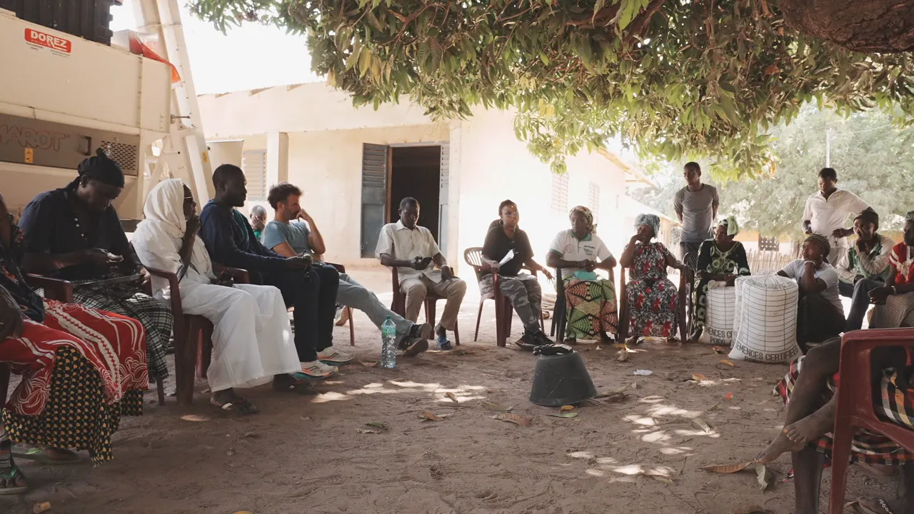
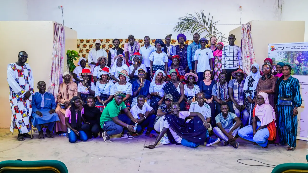
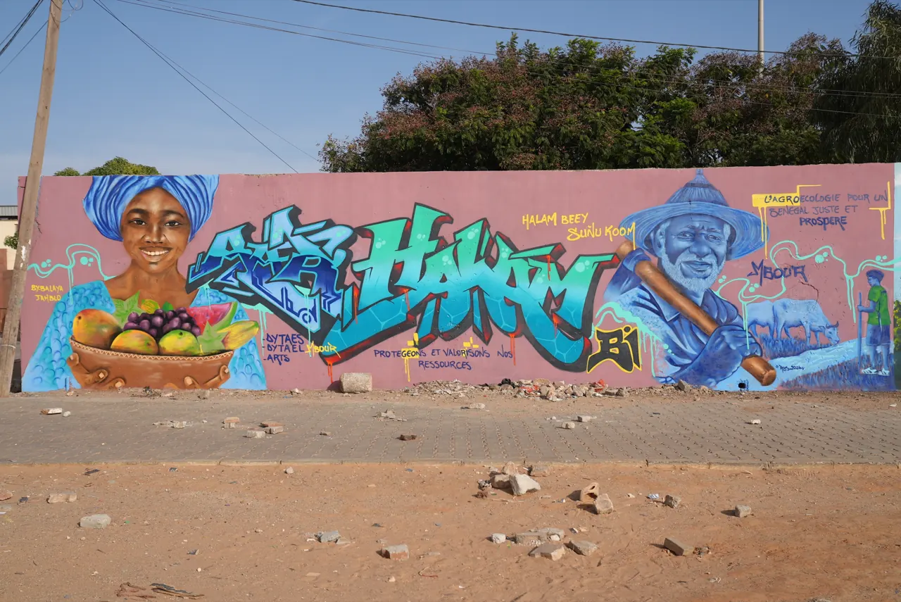
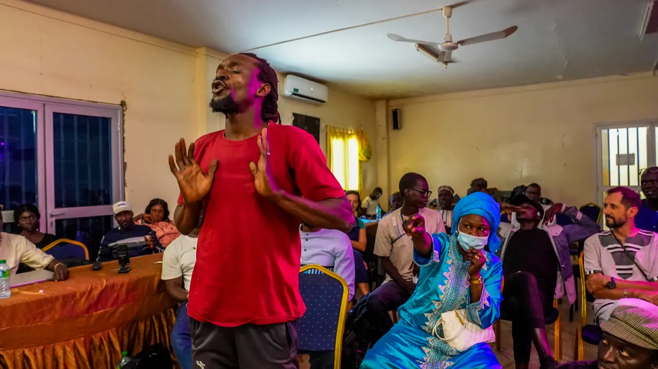
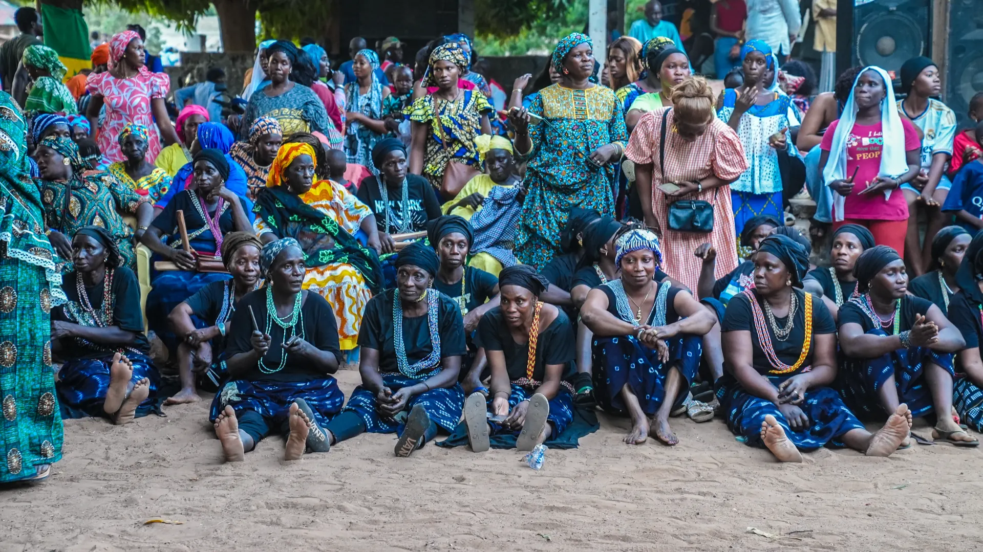
Two complementary diagnostics. In Bignona the work consolidated an already active platform: mapping structured by the 7 ATFS dimensions, multistakeholder workshops, in-depth interviews, transect walks, video documentation. Under IPAR’s lead a diagnostic report was presented to the DyTAEL, extended by an April 2026 study on horticultural price formation. In Mbour a younger platform had to be diagnosed and structured, under intense demographic, land and coastal pressure. Methods were combined: initiative mapping, literature review, creatively facilitated workshops (forum theatre, visioning, scenario building), an artistic reading (Serge Boulaz, Odia), spatial analyses of large-scale concessions. The result is published as a technical report and an open-source geoportal. The GIUB team, with the Joint Research Centre, also completed a historical analysis of agricultural policies in Senegal.
1.1.maps-report
ReachedLand use maps and diagnostic reports
1 interactive open-access geoportal (Mbour diagnostic), 1 participatory map (Thiafoura living lab), 2 territorial diagnostic reports.
Verification: Copies of maps and GIS data, diagnostic report.
1.1.governance-report
ExceededTerritorial governance analysis report
2 territorial diagnostic reports including governance analysis alongside the 6 other dimensions of the ATFS framework.
Verification: Published report, presentation to DyTAEL.
Read · 1 publication
On the ground · 3 events
Field studySeptember 2025· Bignona
Field study - Women's access to land in Bignona
Field studyFebruary 2024· Bignona
Field studyDecember 2023· Bignona
ARTS exploratory surveys in Bignona